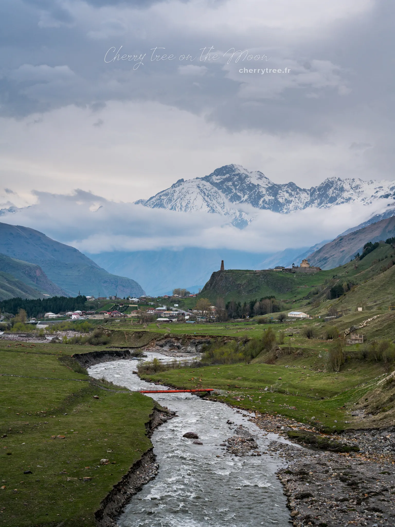
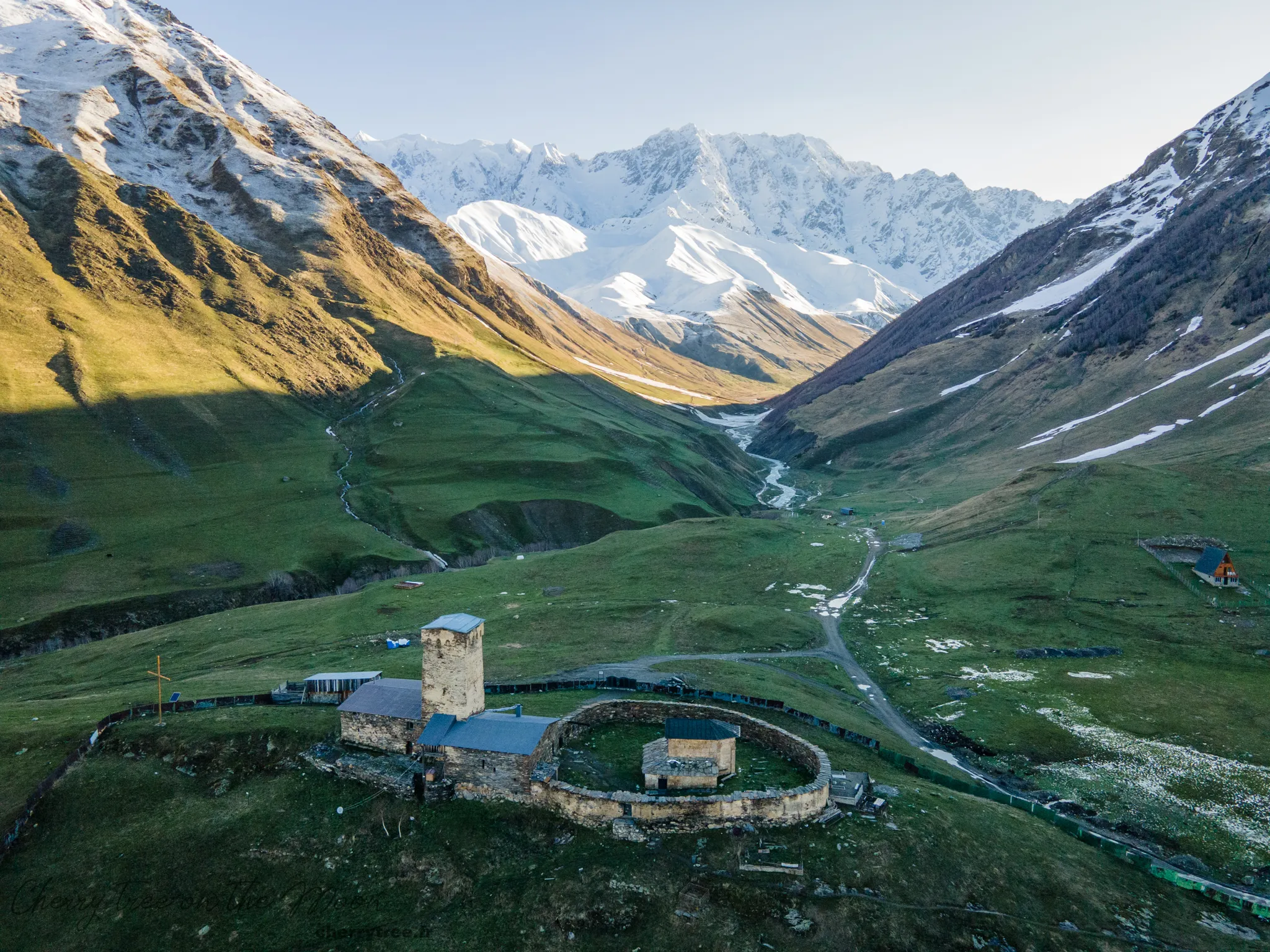
Nestled in the majestic Caucasus Mountains, Georgia is becoming an increasingly sought-after destination for trekking and nature enthusiasts. Boasting diverse landscapes ranging from towering peaks and lush valleys to mysterious primeval forests, Georgia offers countless stunning trekking routes. However, to conquer the challenges that nature presents here, equipping yourself with the knowledge and skills to use maps and compasses is crucial. This article from “Du lịch khắp thế gian” (Travel the World) will provide you with a detailed guide on how to use maps and compasses when trekking in Georgia, helping you confidently explore the pristine beauty of this country safely and fully.
Why Map and Compass Skills Are Crucial for Trekking in Georgia
In the digital age, with smartphones and GPS devices becoming commonplace, many might wonder if maps and compasses are still necessary for trekking. The answer is a resounding yes, especially when trekking in remote mountainous regions like Georgia. Here are the main reasons:
- Rugged Terrain and Unpredictable Weather: The Caucasus Mountains are renowned for their complex terrain, with many remote areas where cell phone signals can be unstable or completely absent. Mountain weather is also notoriously unpredictable; dense fog, heavy rain, or snowfall can arrive at any time, reducing visibility and making navigation extremely challenging. In these situations, maps and compasses, tools independent of technology, will be your lifeline, helping you determine your location and find your way.
- Safety First: Trekking in natural environments always carries inherent risks. Getting lost not only wastes time and effort but can also lead to dangerous situations, especially when trekking alone or in bad weather conditions. Map and compass skills give you more control over navigation, minimizing the risk of getting lost and ensuring the safety of yourself and your companions.
- Enhanced Trekking Experience: When you can confidently navigate using maps and compasses, you’ll feel more connected to nature and fully appreciate the beauty of Georgia. Instead of solely relying on GPS devices, you’ll learn to observe the terrain, read maps, and make decisions based on real-world information, thereby enhancing your survival skills and creating more memorable trekking experiences.
Preparing Maps and Compasses for Trekking in Georgia
To best prepare for your trekking adventure in Georgia, you need to choose suitable maps and compasses.
Maps
- Topographic Maps: This type of map is ideal for trekking, providing detailed information about terrain, altitude, trails, rivers, forests, and other natural landmarks. You can purchase topographic maps of Georgia at specialized travel stores, bookstores, or online before your trip.
- Online Maps and Apps: Map applications like Maps.me, Gaia GPS, AllTrails, etc., offer detailed offline maps, allowing you to download the trekking area beforehand and use them without an internet connection. However, always remember that paper maps and compasses are indispensable backup options.
Compasses
- Baseplate Compass: This is the most common and easiest-to-use type of compass for trekking. A baseplate compass has a transparent base, making it easy to place on a map and determine direction.
- Digital Compasses: Some GPS watches or handheld devices have integrated digital compasses. While convenient, they rely on battery power and may not function well in harsh weather conditions.
Advice:
- Learn About the Trekking Area: Research your chosen trekking route thoroughly, understand the terrain, difficulty, key points, and special considerations.
- Purchase Maps with an Appropriate Scale: The map scale indicates the relationship between distances on the map and actual distances on the ground. A scale of 1:25,000 or 1:50,000 is suitable for trekking, providing sufficient detail about the terrain.
- Check Your Compass Before You Go: Ensure your compass is working accurately and that you know how to use it.

Guide to Using Topographic Maps
Topographic maps contain a wealth of useful information, but to fully utilize their value, you need to understand the symbols and how to read them.
Basic Elements of a Topographic Map
- Contour Lines: These are curved lines connecting points of equal elevation above sea level. The spacing between contour lines indicates the steepness of the terrain. Closer contour lines mean steeper terrain, and vice versa.
- Geographical Symbols: Maps use symbols to represent geographical features such as rivers, lakes, forests, trails, residential areas, high points, etc. A symbol legend is usually printed in the map margin.
- Map Scale: Indicates the reduction ratio between distances on the map and actual distances. For example, a 1:50,000 scale means 1cm on the map corresponds to 50,000cm (500m) in reality.
- Orientation: Most topographic maps have a North Arrow. The remaining directions are determined by convention: East to the right, West to the left, and South below.
How to Read a Topographic Map
- Identify North: Locate the North Arrow on the map.
- Orient the Map: Rotate the map so that North on the map aligns with true North (use a compass to determine true North).
- Determine Your Location: Find recognizable landmarks on the ground (e.g., mountain peaks, river junctions, major roads…) and match them to the map to pinpoint your position.
- Plan Your Route: Based on the map, contour lines, geographical symbols, and route information, you can plan your movement, estimate travel time, and assess the difficulty of the journey.
Guide to Using a Compass
A compass is an indispensable tool for navigation in nature, especially when combined with a map.
Main Parts of a Baseplate Compass
- Magnetic Needle: Always points to magnetic North. The red or marked end usually indicates North.
- Bezel Ring: A rotatable ring marked with degrees from 0 to 360.
- Direction of Travel Arrow: An arrow on the baseplate used to indicate the desired direction of travel.
- Orienting Lines: Parallel lines on the baseplate used to align with the map’s grid lines (meridians).
How to Use a Compass
- Determine Magnetic North: Hold the compass horizontally; the magnetic needle will rotate freely and point to magnetic North.
- Take a Bearing:
- Select your destination point on the map.
- Place the edge of the compass baseplate along the direction from your current location to the destination on the map.
- Rotate the bezel ring so that the magnetic needle (red end) aligns with the “N” (North) or 0 degrees on the bezel, and the orienting lines on the baseplate are parallel to the map’s grid lines.
- Read the degree value at the Direction of Travel Arrow on the bezel ring. This is the bearing you need to follow.
- Follow the Bearing:
- Hold the compass horizontally and turn your body until the magnetic needle (red end) aligns with “N” or 0 degrees on the bezel.
- The Direction of Travel Arrow will point in the direction you need to walk.
Note on Magnetic Declination:
- Magnetic declination is the angle between magnetic North and true North (geographic North). Declination varies depending on geographical location.
- Georgia has a relatively small magnetic declination, often negligible for general trekking. However, if you want more precise navigation, find out the declination for your trekking area and adjust your compass accordingly. This information can be found on maps or online resources.
Combining Maps and Compasses in Real Trekking Scenarios
To use maps and compasses most effectively in trekking, you need to combine both tools and apply practical navigation skills.
Orienting the Map
- Place the map on a flat surface.
- Use a compass to determine true North.
- Rotate the map so that North on the map aligns with true North. At this point, the map is oriented, and geographical features on the map will correspond to their positions on the ground.
Determining Location by Triangulation (Resection)
- Choose 2-3 recognizable landmarks on the ground that you can also identify on the map (e.g., mountain peaks, towers, road junctions…).
- Take a bearing from your location to each landmark using the compass.
- Convert these bearings into back bearings by adding or subtracting 180 degrees.
- Draw these back bearings on the map from the positions of the landmarks. The intersection of these bearing lines will be your location on the map.
Maintaining Direction
- Determine the bearing you need to follow using the map and compass.
- Select a distant landmark in that direction.
- Walk straight towards that landmark, then select the next landmark and continue moving.
- Regularly check your compass and map to ensure you are staying on course.
Popular Trekking Routes in Georgia and Map & Compass Application
Georgia has many famous trekking routes that require good navigation skills, especially in the high mountain regions of Svaneti and Kazbegi.
- Svaneti: A region famous for its high peaks, glaciers, and ancient villages. The trek from Mestia to Ushguli is one of the most beautiful routes in Georgia but also quite challenging with complex terrain and unpredictable weather. Maps and compasses are essential tools for navigation on remote sections, crossing passes, and finding your way in fog.

- Kazbegi: The area around Mount Kazbek is famous for Gergeti Trinity Church and Truso Valley. Hiking routes here often involve high altitudes, with diverse terrain ranging from meadows to rocky mountains. Map and compass skills help you safely explore areas beyond Gergeti Church, especially when hiking in Truso Valley or on routes ascending higher into the mountains.
Safety Tips for Trekking and Using Maps & Compasses
- Trek with Companions: Trekking in a group is always safer than going alone.
- Inform Someone of Your Itinerary: Let family or friends know your trekking schedule and expected return time.
- Carry Backup Equipment: Always carry spare batteries for your phone, a flashlight, a lighter, a first-aid kit, and extra food and water.
- Learn First Aid Skills: Acquire basic first aid knowledge to handle emergency situations.
- Monitor Weather Conditions: Check the weather forecast before you go and prepare appropriate clothing and gear.
- Stay on Marked Trails: Try to follow marked trails to avoid getting lost.
- Practice Using Maps and Compasses: Practice using maps and compasses before your trek to familiarize yourself with navigation skills.
Conclusion
Map and compass skills are invaluable assets for anyone who loves trekking, especially when exploring remote mountainous regions like Georgia. By mastering the knowledge and skills shared in this article, you will feel more confident on any trail, fully explore the majestic natural beauty, and have safe, memorable trekking experiences in Georgia. Remember, maps and compasses are not just navigation tools; they are keys that unlock exciting and meaningful adventures in the natural world. Wishing you wonderful trekking trips in Georgia!