Vietnam, a country with diverse terrain, from fertile plains to majestic mountain ranges. With 3/4 of its area being hills and mountains, Vietnam is a paradise for those who love trekking and exploring nature. Are you ready to pack your backpack and conquer these beautiful peaks?
Explore Vietnam’s Majestic Mountain System
Vietnam’s topography is incredibly diverse, with hills and mountains covering most of the land. However, the majority are low hills and mountains, with 85% of the terrain below 1,000m. Mountains above 2,000m account for only about 1%. The mountain ranges form a large arc, stretching 1,400km from the Northwest to the Southeast, facing the East Sea.
The most massive mountain ranges are concentrated in the West and Northwest, home to Fansipan peak, the “Roof of Indochina” with a height of 3,143m. Towards the East, the mountains gradually become lower and often end with a coastal lowland strip. From Hai Van Pass southward, the terrain is simpler with large granite blocks, rising into high peaks and successive plateaus forming the Central Highlands, the eastern edge of which is elevated into the Truong Son range.
Thanks to its climate, terrain, and rich vegetation, Vietnam has great potential for developing outdoor tourism, especially trekking and mountain climbing. This type of tourism is increasingly attracting participants, especially young people, who are passionate about experiencing and exploring new lands.
Top 15 Highest Mountains in Vietnam for Trekking
1. Fansipan (3,143m)
- Location: Hoang Lien Son range, about 9km southwest of Sapa town.
- Difficulty: 4/6
- Activities: Mountain climbing, camping, picnic.
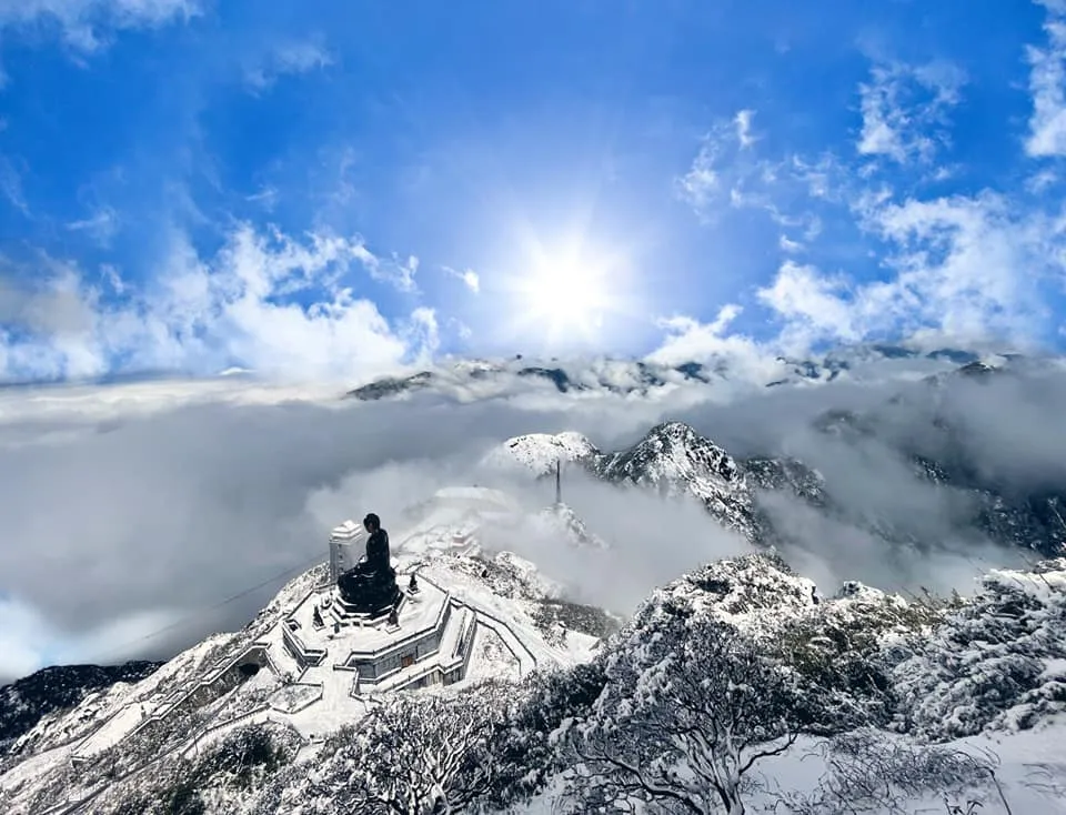
- Ideal time: October – April of the following year for cloud hunting. December – early February for snow hunting.
Fansipan, the “Roof of Indochina,” is the dream of conquest for many Vietnamese people. Overcoming slopes and forests, you will reach the highest peak of the Indochinese peninsula, proudly being Vietnamese to set foot on the highest land of the Fatherland.
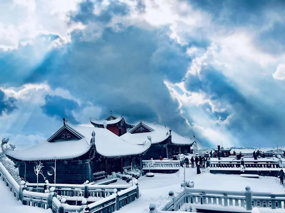
Many people choose the cable car to reach the top of Fansipan, admiring the poetic Muong Hoa valley. But for those who love conquering, trekking is still the top choice. The feeling of reaching the summit after so much effort, sweat, and sometimes fatigue, is truly wonderful.
2. Pu Si Lung (3,080m)
- Location: Near landmark 42, Vietnam – China border, belonging to Pa Ve Su commune, Muong Te district, Lai Chau.
- Difficulty: 5/6
- Features: Long journey (100km round trip), many large streams and rapids.
- Climbing time: 4 days 3 nights
- Activities: Trekking, camping
- Ideal time: October – March
Pu Si Lung has complex terrain, mainly through forests with slippery slopes and large streams. Conquering Pu Si Lung is not an easy challenge, even for beginners, many people give up halfway. To this day, Pu Si Lung is still considered the most difficult peak to conquer, a dream for mountaineering enthusiasts.
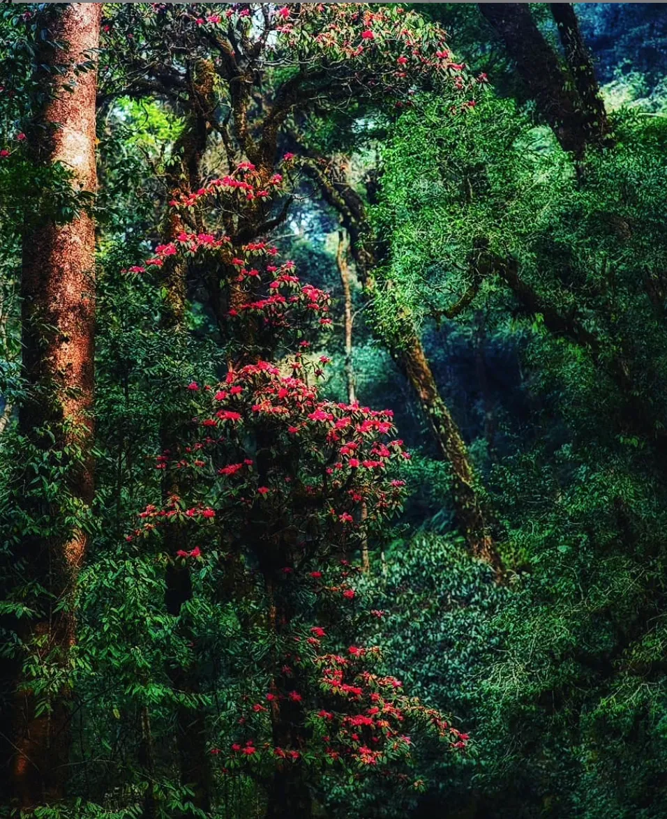
The rhododendron forest in Pu Si Lung is considered the most beautiful in Vietnam. During the blooming season (February-March-April), the experience of walking in the rhododendron forest is wonderful.
3. Putaleng (3,049m)
- Location: Ta Leng commune, Phong Tho district, Lai Chau.
- Height: 3,049m
- Features: Streams, bamboo forests
- Climbing time: 3 days 2 nights
- Activities: Trekking
- Ideal time: December – March
Putaleng is nearly as high as Pusilung and is one of the highest mountains in Vietnam, coveted by many backpackers to conquer. Putaleng’s terrain is complex, mainly through forests with slippery slopes and large streams, surrounded by ancient forests.
4. Ky Quan San (3,046m)
- Location: Between Lao Cai and Lai Chau provinces.
- Height: 3,046m
- Features: Barren hills, corn fields, bamboo forests, burnt forests, dwarf bamboo forests, and steep cliffs.
- Climbing time: 3-4 days
- Activities: Trekking, cloud hunting
- Ideal time: Spring and summer
Ky Quan San (Bach Moc Luong Tu) is located between the border of Lao Cai and Lai Chau, the 4th highest peak in Vietnam. The route to conquer Ky Quan San can start from Lai Chau or Lao Cai, but the most popular is from Sang Ma Sao commune, Bat Xat, Lao Cai.
In May, visitors have the opportunity to see the terraced fields during the water season. On the way to the top, you will encounter many diverse ecological changes, from barren hills to burnt forests and white wood forests, explaining the name Bach Moc Luong Tu.
5. Khang Su Van (3,012m)
- Location: Pa Vay Su commune, Phong Tho district, Lai Chau.
- Height: 3,012m
- Features: Ancient forests, cardamom forests
- Climbing time: 3 days 2 nights
- Activities: Exploring cardamom forests, ancient tea forests
- Ideal time: Year-round, each season has its own beauty
Khang Su Van is a natural wall protecting the northern border. To conquer this peak, you need permission from the Vang Ma Chai Border Guard Station. This place has thousand-year-old ancient tea forests, diverse vegetation with cardamom forests, white and yellow rhododendrons, and primary forests that are almost untouched by humans.
6. Ta Lien (2,996m)
- Location: Ta Leng commune, Tam Duong, Lai Chau.
- Height: 2,996m
- Features: Mossy cliffs, ancient forests, maple forests
- Climbing time: 2 days 1 night
- Activities: Trekking, rock climbing on mossy cliffs
- Ideal time: Autumn with red maple forests
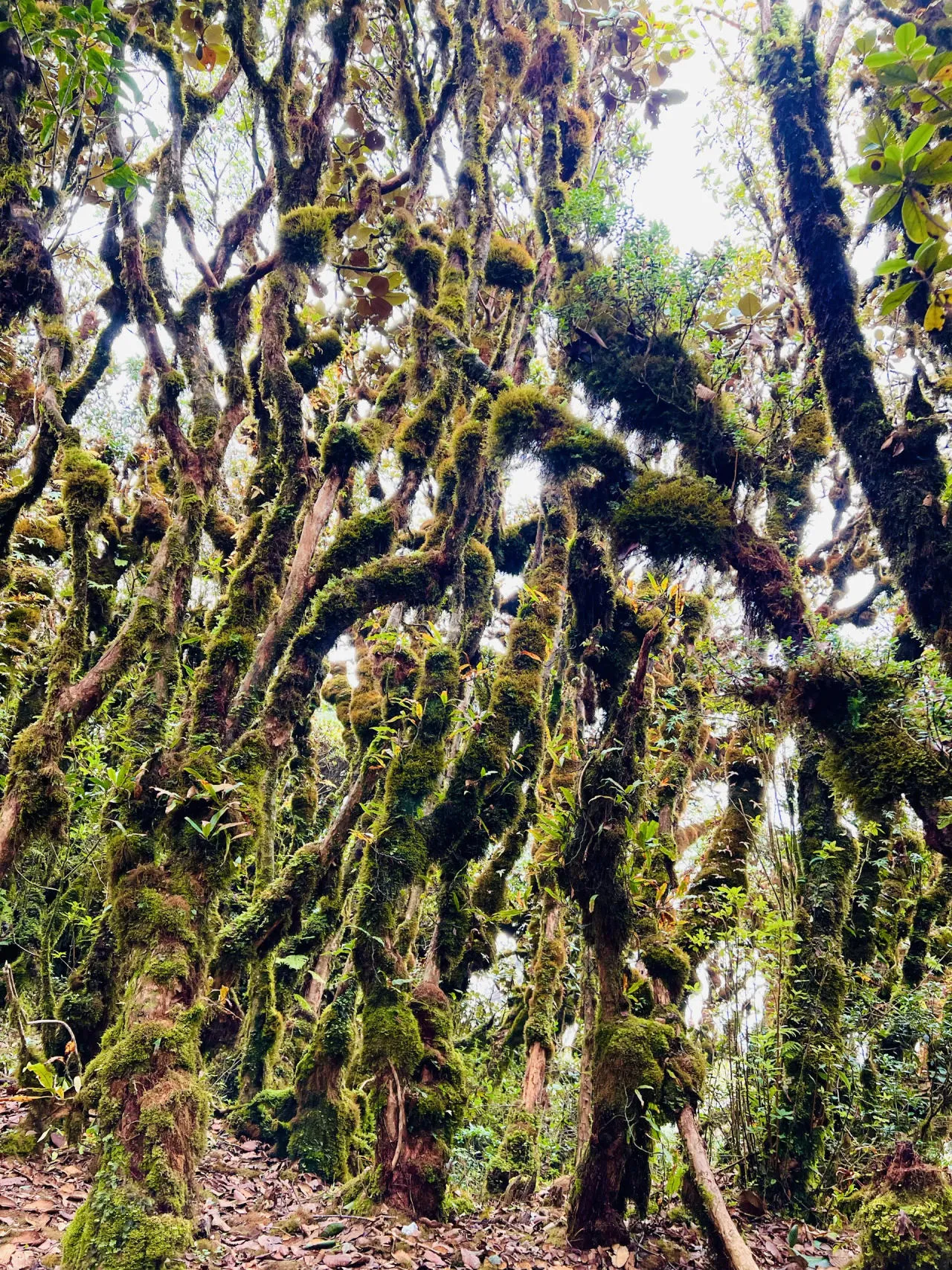
Ta Lien (Co Trau mountain) is shaped like the back of a buffalo living in the primary forest at the foot of the mountain. Ta Lien forest has diverse primary vegetation, surprising you with lush ancient trees, large trunks, covered with moss and ferns, creating a mysterious fairytale scene.
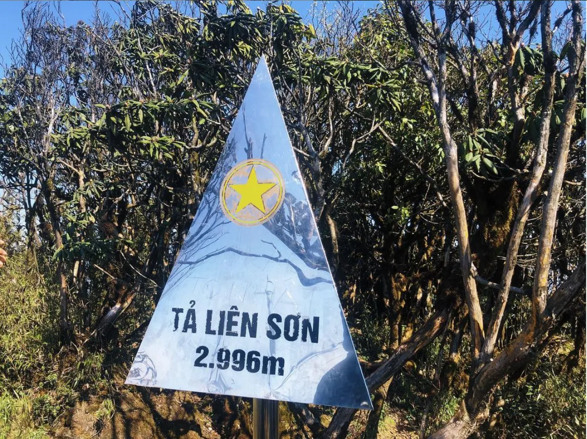
The ideal time to conquer Ta Lien is in autumn, around September-October, when you have the opportunity to see the romantic red maple forest.
7. Ta Chi Nhu (2,979m)
- Location: Tram Tau, Pu Luong, Hoang Lien Son
- Height: 2,979m
- Features: Climbing path with many shrubs, continuous rocky slopes
- Climbing time: 3 days
- Activities: Trekking, mountain climbing, cloud hunting, hunting purple Chi Pau flowers, camping
- Ideal time: October – April of the following year (beautiful cloud hunting time)
Ta Chi Nhu is ranked among the top difficult mountains to climb, with most of the path being steep, with little shade and lots of rocks and gravel.
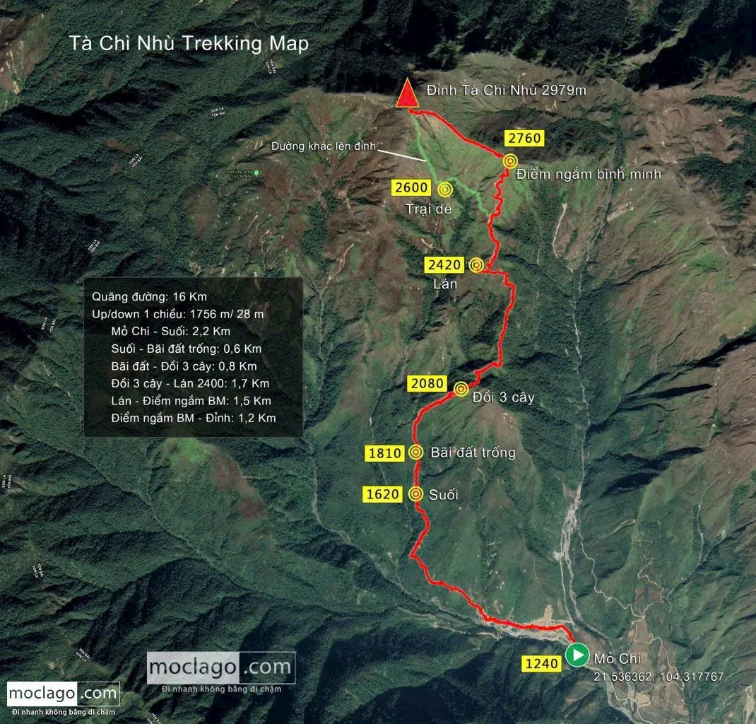
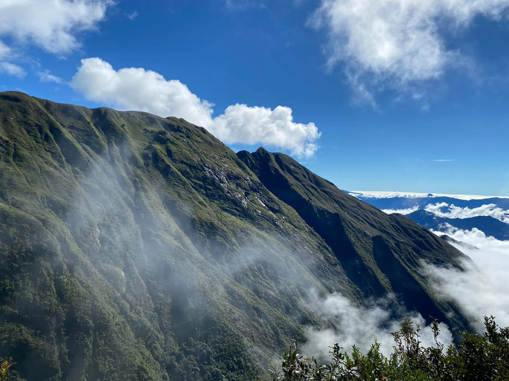
Standing on the top of Ta Chi Nhu, you will admire the beauty of the sea of clouds, welcome the wind, and feel like touching the clouds up close. Ta Chi Nhu is also famous for the purple Chi Pau flowers, blooming and covering the mountain peaks around September-October.
8. Po Ma Lung (2,967m)
- Location: Ban Lang commune, Phong Tho district, Lai Chau.
- Height: 2,967m
- Features: Large streams, majestic waterfalls, cardamom forests, primary forests
- Climbing time: 3 days 2 nights
- Activities: Trekking, camping, swimming in streams
- Ideal time: May
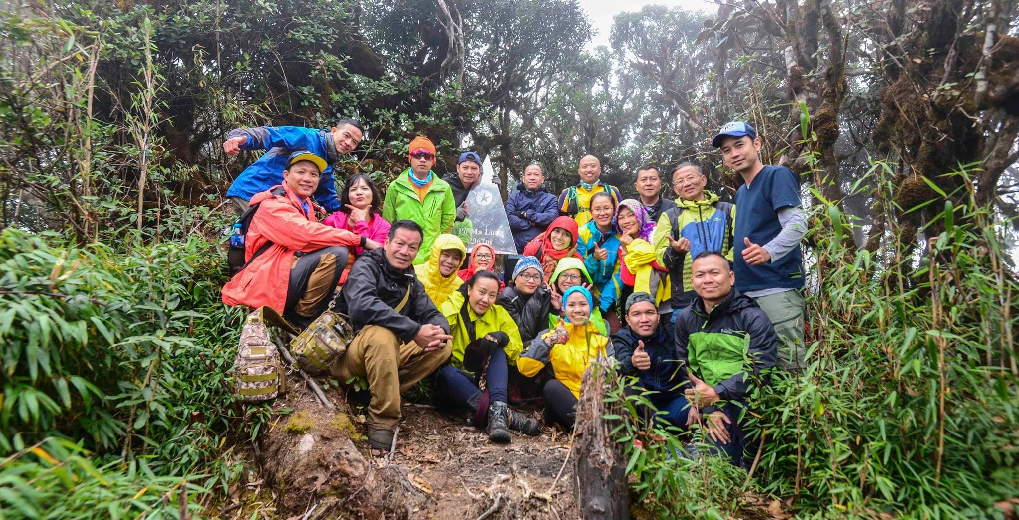
Po Ma Lung is located in Ban Lang, Phong Tho, Lai Chau. Some other names are Po Ma Lung, Bach Moc Luong, Bach Long or Buc Tuong. With a height of 2,967m, Po Ma Lung is rated as the 3rd most difficult in the top 15 highest mountains in Vietnam.
The highlight of Po Ma Lung is the largest rocky streams in the Northwest and the beautiful 3-tiered Rong Tien waterfall. The large cardamom fields under the primary forest canopy are also an unforgettable impression. The Three Hour Slope is also an unforgettable highlight, challenging your endurance.
9. Nhiu Co San (2,965m)
- Location: Sang Ma Sao commune, Bat Xat district, Lao Cai
- Height: 2,965m
- Climbing time: 2 days 1 night
- Activities: Exploring cardamom forests, Ong Chua waterfall
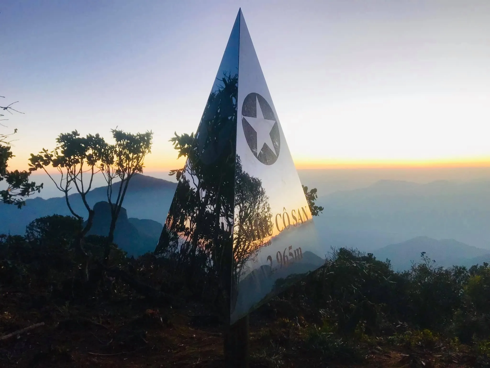
Nhiu Co San means Many Buffalo Horns, a mountain with a quite interesting path. The mountain has 3 peaks and is named after the village at the foot of the mountain.
The Nhiu Co San route is short but the terrain is relatively difficult to navigate, with no trails and diverse vegetation. Therefore, the trekking process requires climbers to be highly focused.
10. Chung Nhia Vu (2,918m)
- Location: Nam Xe commune, Phong Tho district, Lai Chau
- Height: 2,918m
- Features: Streams, cardamom forests, bamboo forests
- Climbing time: 2 days 1 night
- Activities: Trekking, camping
- Ideal time: May, rhododendron blooming season
Chung Nhia Vu is located in Nam Xe commune, Phong Tho district, Lai Chau. This place is a natural border on the Vietnam – China border. As one of the highest mountains in Vietnam with a short and not too difficult route, the terrain is mainly bamboo forests, bamboo groves, large streams and cardamom forests.
11. Lung Cung (2,913m)
- Location: Nam Co commune, Mu Cang Chai district, Yen Bai
- Height: 2,913m
- Features: Grass hills, dense forests, bamboo forests
- Climbing time: 2 days 1 night
- Activities: Trekking, camping
- Ideal time: September – April
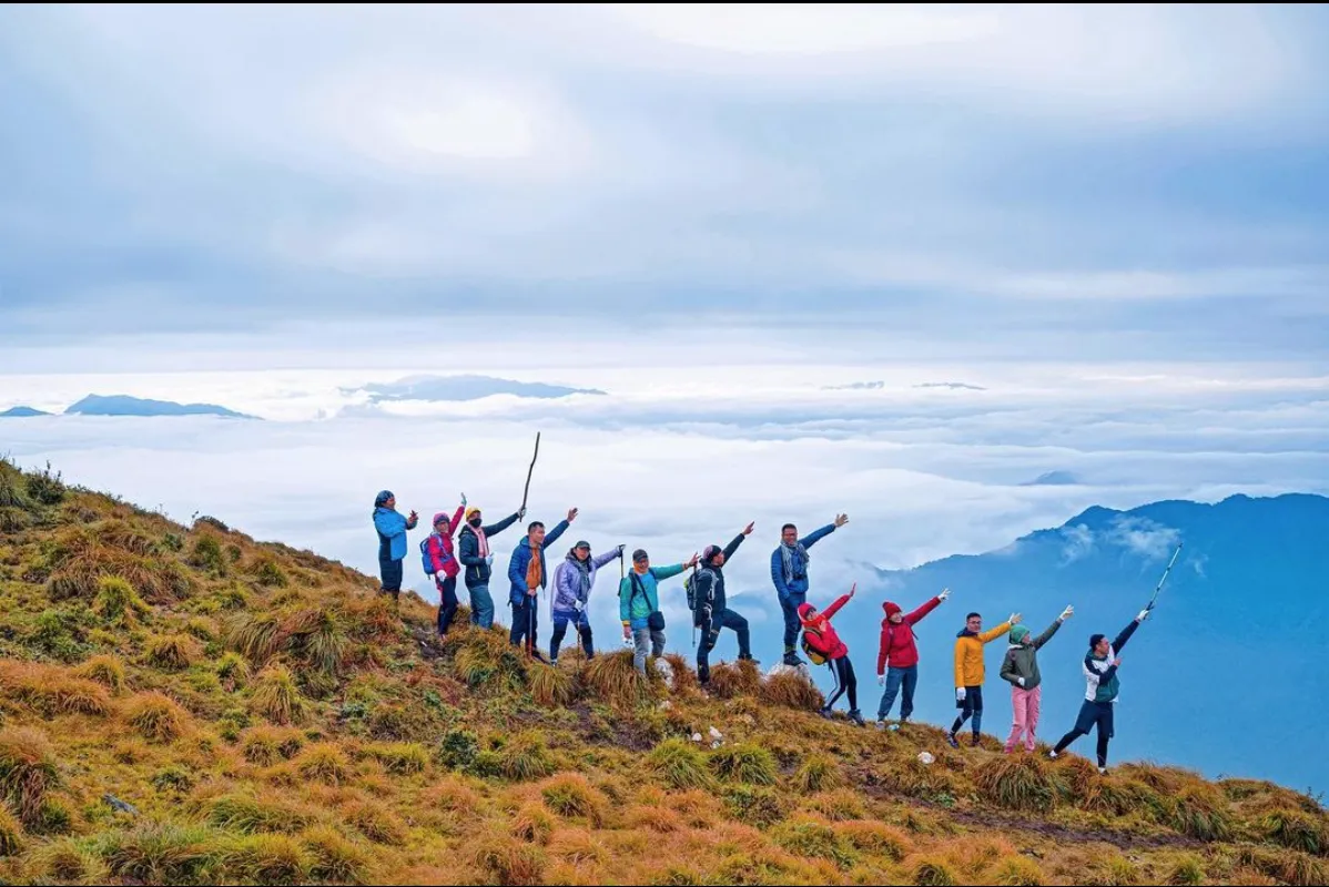
Lung Cung is named after a village deep in the most rugged mountainous region in Mu Cang Chai, Yen Bai.
The climbing journey is arduous, but you will have the opportunity to admire diverse and endlessly beautiful nature, with long stretches of primary forest, rich vegetation, bamboo forests, green bamboo groves, and vast reed hills.
12. Nam Kang Ho Tao (2,881m)
- Location: Ho Mit commune, Tan Uyen district, Lai Chau
- Height: 2,881m
- Features: Complex terrain, high cliffs, forest paths, waterfalls and streams
- Climbing time: 3 days 4 nights
- Activities: Trekking bamboo forests, cardamom forests, camping
- Ideal time: October, February – April
Nam Kang Ho Tao is a proud mountain, among the highest mountains in Vietnam, highly challenging to conquer. The journey to the top of Nam Kang Ho Tao is relatively long with vertical cliffs, slippery slopes, and rocky roads.
13. Phu Sa Phin (2,868m)
- Location: Hang Chu, Bac Yen district, Son La
- Height: 2,866m
- Features: Primary forest, sea of clouds
- Climbing time: 2 days 1 night
- Activities: Cloud hunting, camping, exploring primary forests, check-in at Turtle Head Rock
- Ideal time: October – April
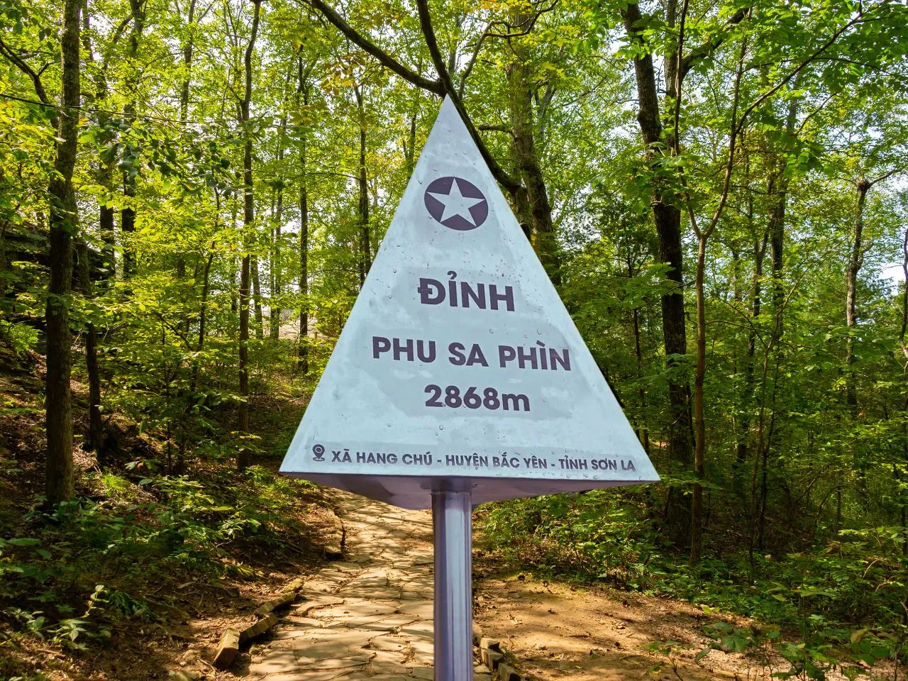
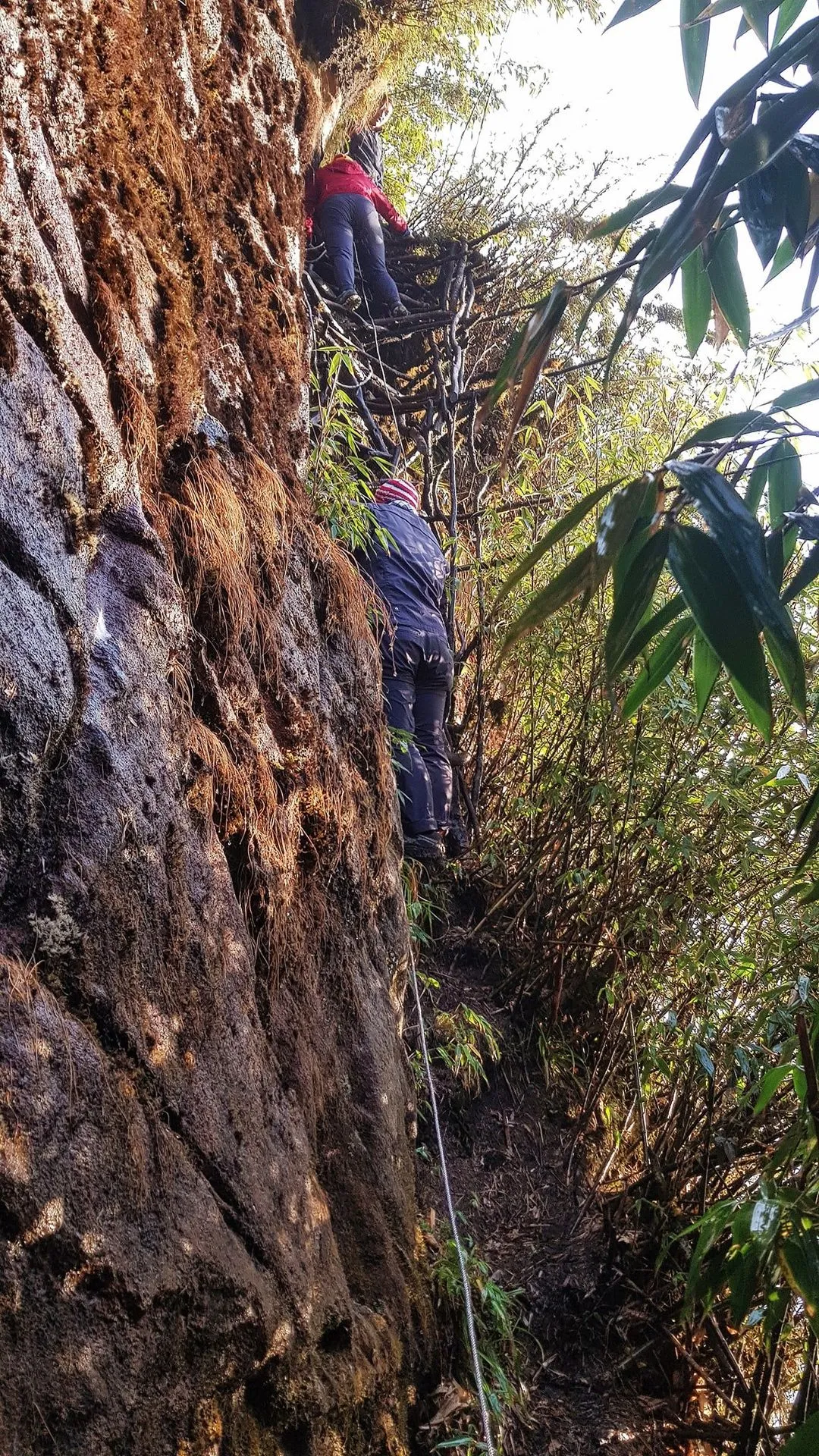
Phu Sa Phin (formerly Ta Xua) is one of the highest mountains in Vietnam, and also an ideal destination for cloud hunting. The Phu Sa Phin climbing path has many continuous steep sections, especially vertical rocky slopes, slippery slopes, and dense forest sections.
14. Lao Than (2,860m)
- Location: Phin Ho village, Y Ty commune, Bat Xat district, Lao Cai
- Height: 2,860m
- Features: Mountain climbing path is not too complicated, mainly through grassy hills, low forest fields
- Climbing time: 2 days 1 night
- Activities: Mountain climbing, camping
- Ideal time: September – February
The experience of mountain climbing, camping, and watching the sea of clouds flying over the vast mountains will surely captivate anyone who comes to this land with its wild and mysterious beauty.
15. Ngu Chi Son (2,858m)
- Location: Ta Giang Phinh, Sapa district, Lao Cai
- Height: 2,858m
- Features: Many steep slopes, difficult to climb, erratic weather
- Climbing time: 2 days 1 night
- Activities: Mountain climbing, camping
- Ideal time: October – March
Ngu Chi Son is located 24km from Sapa town, a mountain range consisting of 5 peaks running along the Northwest direction. Conquering Ngu Chi Son will be a real challenge for mountaineering enthusiasts due to the steep climbs and rugged terrain.
Prepare Your Backpack for Trekking Trip
To have a safe and memorable trekking trip, you need to prepare all the necessary items:
- Mountaineering backpack: Choose a type with soft, sturdy straps, a waist strap, and waterproof material.
- Mountaineering shoes: Choose specialized, high-cut shoes with good grip, breathable and waterproof.
- Trekking poles: Choose specialized poles with spring elasticity, adjustable length.
- Clothing: Prioritize quick-drying shirts, quick-drying convertible pants, 2-layer windbreaker.
- Thick socks: Bring 3-4 pairs, choose good, high-cut types.
- Gloves: Choose protective type with rubber studs.
- Headwear: Baseball cap or wide-brimmed hat with strap.
- Scarf: Thin scarf to wrap around the neck.
- Flashlight: Should use a headlamp type, good battery life.
- Camping gear: Tent, sleeping bag, tent light.
- Medical supplies: Bring personal medication, cold medicine, digestive medicine, salonpas, first aid kit.
- Mosquito and leech repellent.
- Personal hygiene items.
- Camera, phone, power bank.
- Food and drinks: Bring your favorite snacks, quick energy foods, breakfast, lunch, and dinner. Drink water slowly, in small sips, frequently.
Conclusion
Vietnam is a trekking paradise with countless beautiful and majestic mountains. Each mountain has its own beauty, its own challenge. Hopefully, this article will help you choose a suitable mountain and have a memorable trekking trip. Remember to prepare carefully before each trip to ensure safety and have the best experiences.