Sawtooth Pass Trail, a hidden gem nestled in the majestic Sierra Nevada mountains of California, offers an unforgettable hiking adventure for those who yearn to conquer untamed nature. This trail not only challenges your physical endurance but also unveils breathtaking scenery of high-altitude lakes, jagged granite peaks, and unique alpine vegetation, promising a hiking experience that surpasses all expectations.
Introducing Sawtooth Pass Trail
Sawtooth Pass Trail is located within the John Muir Wilderness of Inyo National Forest, renowned for its raw beauty and diverse terrain. Nicknamed “Sawtooth” due to its sharp, jagged granite peaks reaching for the sky, this area is a paradise for hiking and mountaineering enthusiasts. Sawtooth Pass Trail is one of the most popular hiking routes, leading visitors into the heart of this mountainous region, where nature’s beauty is displayed in its most complete form.
Trail Details
Length: Approximately 10-12 miles (16-19 km) round trip, depending on the starting point and chosen side trails.
Elevation: Starting elevation is around 9,200 feet (2,800 meters) and peaks at Sawtooth Pass at 11,709 feet (3,569 meters). Total elevation gain is about 2,500 feet (762 meters).
Difficulty: Rated as difficult to very difficult due to steep inclines, rocky terrain, and high altitude. The trail requires participants to be in good physical condition, have experience hiking in mountainous terrain, and be able to adapt to rapidly changing weather conditions.
Hiking Time: Typically takes 6 to 10 hours to complete, depending on pace, rest stops, and individual fitness levels.
Popular Trailheads: There are two main trailheads: Onion Valley Trailhead and Mosquito Flat Trailhead. Onion Valley Trailhead is often preferred because it has a lower starting elevation, which helps reduce the difficulty of altitude acclimatization.
Suggested Hiking Itinerary
Morning:
- Start Early: Begin hiking early in the morning (around 6-7 AM) to avoid the intense midday sun and have ample time to finish before dark.
- Initial Section: From Onion Valley Trailhead, you’ll start a gradual ascent into a pine forest. This section is relatively easy and helps warm up your body before facing more challenging sections.
- Reach Gilbert Lake: After about 2-3 miles, you’ll reach Gilbert Lake, a stunning lake nestled among granite mountains. This is an ideal stop to rest, admire the scenery, and refuel.
Midday:
- Conquer Sawtooth Pass: After Gilbert Lake, the trail becomes steeper and the terrain more rugged. You’ll traverse rocky sections, steep slopes, and finally conquer Sawtooth Pass.
- Sawtooth Pass Summit: Upon reaching the summit, you’ll be rewarded with 360-degree panoramic views of the Sierra Nevada mountain range. From here, you can see Big Pothole Lake, Little Pothole Lake, and countless majestic granite peaks.
- Rest and Lunch: Spend time at the summit to enjoy the views, take photos, and have lunch. Remember to bring enough water and snacks to replenish your energy.
Afternoon:
- Descend: Begin your descent, you can choose to return via the same route back to Onion Valley Trailhead or continue exploring other lakes like Big Pothole Lake and Little Pothole Lake if you have enough time and energy.
- Return to Trailhead: Complete your hike and return to the trailhead before dark.
Essential Gear and Safety Tips
Gear:
- Hiking Boots: Choose specialized hiking boots with good traction, ankle support, and waterproof features.
- Hiking Backpack: A backpack of appropriate size to carry enough water, food, warm layers, map, compass, flashlight, and first-aid kit.
- Clothing: Wear breathable, quick-drying hiking clothes that offer sun and wind protection. Pack a warm jacket and rain jacket as mountain weather can change suddenly.
- Water: Carry enough water (at least 3-4 liters per person) as natural water sources on the trail may not be safe to drink directly.
- Food: Pack energy-rich snacks like protein bars, dried fruit, nuts, and sandwiches.
- Sunscreen, Hat, Sunglasses: Protect your skin and eyes from the intense mountain sun.
- Map, Compass or GPS: Ensure you don’t get lost, especially in bad weather or limited visibility.
- Flashlight or Headlamp: Necessary if you are hiking early in the morning or might return late.
- First-Aid Kit: To treat minor injuries or common health issues during hiking.
Safety Tips:
- Check Weather Forecast: Monitor the weather forecast before you go and be prepared for all conditions. Avoid hiking during thunderstorms or lightning.
- Hike in Groups: Do not hike alone, especially on difficult trails like Sawtooth Pass Trail. Hiking in groups is safer and provides support if you encounter problems.
- Inform Someone: Tell family or friends about your hiking plans, including the trail, departure time, and expected return time.
- Pace Yourself: Do not try to hike too fast, especially when ascending or descending. Pace yourself to avoid exhaustion and falls.
- Altitude Awareness: Altitude can cause symptoms like headache, dizziness, nausea. Drink plenty of water, eat light snacks, and rest frequently to acclimatize. If you feel too unwell, turn back and do not attempt to continue.
- Respect Nature: Do not litter, make excessive noise, or disturb wildlife and vegetation.
Best Time to Hike
The best time to hike Sawtooth Pass Trail is from mid-July to early October. During this time, the weather is generally dry, warm, and snow-free. However, you should still be prepared for afternoon showers and temperatures that can drop low at night, especially at higher elevations. Summer is also peak tourist season, so you should reserve parking in advance if possible, especially on weekends.
Explore Majestic Beauty
Sawtooth Pass Trail is not just a physical challenge but also a journey to explore the majestic and pristine beauty of nature. From lush pine forests, crystal-clear lakes like mirrors, to towering granite peaks and vast valleys, every step on this trail offers memorable experiences. If you are a hiking enthusiast and want to conquer new challenges, Sawtooth Pass Trail is definitely a must-visit destination. Prepare thoroughly, plan in detail, and get ready for an amazing hiking adventure!
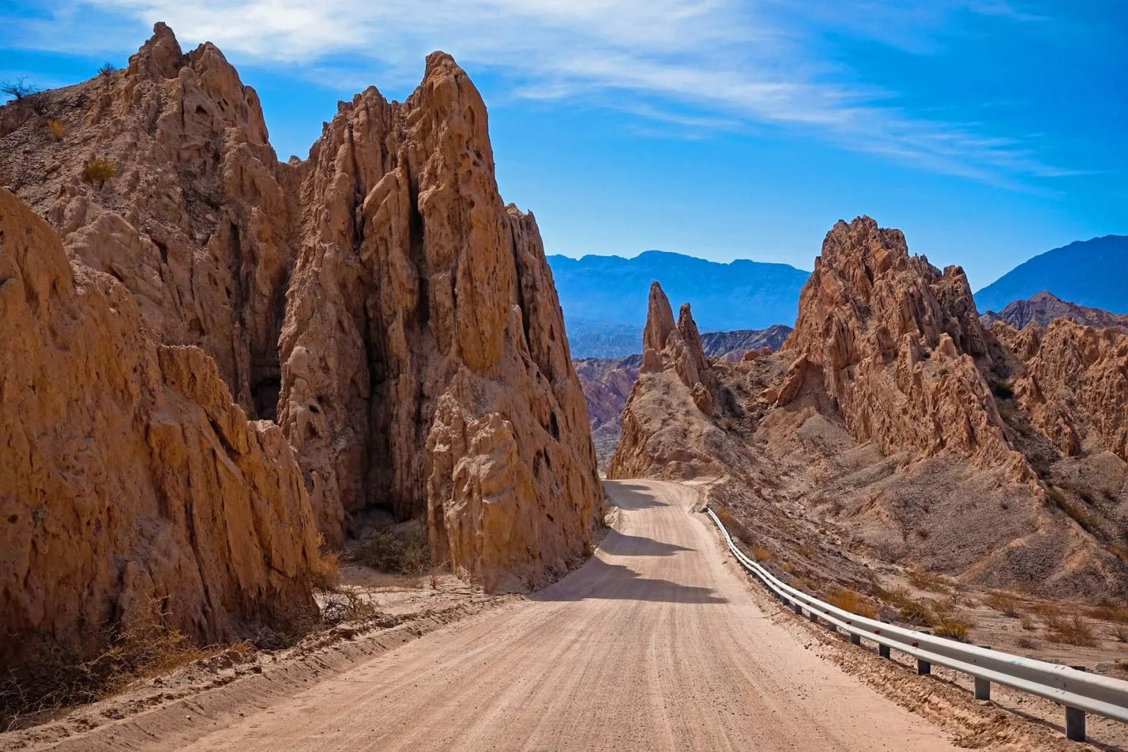
 Route 40 road in Argentina